Leave Your Message
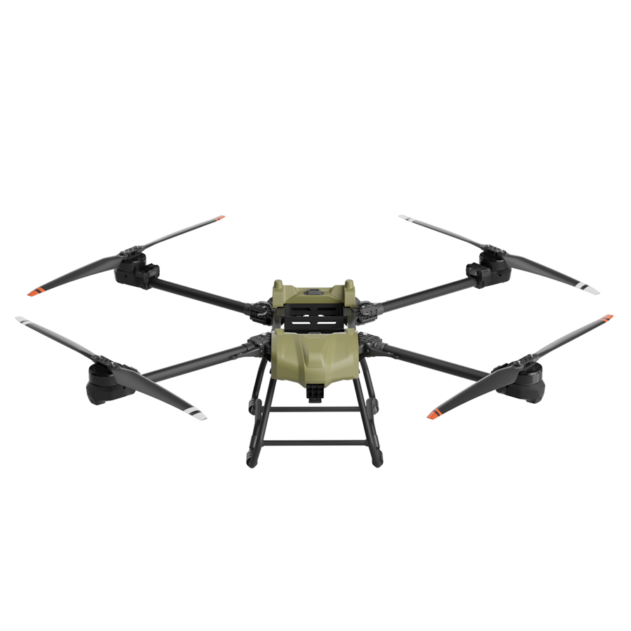
Industrial-grade construction UAVs purpose-built for agronomic research, field surveying, and precision crop analysis.
The fusion of construction-grade unmanned aerial vehicles (UAVs) with agronomy research is rapidly reshaping how scientists, agronomists, and farmers understand, monitor, and optimize crop production at scale.
Construction UAVs — originally engineered for infrastructure inspection, surveying, and heavy-lift logistics — are now being reimagined and redeployed as the backbone of next-generation agronomy research platforms. These platforms combine structural robustness, extended payload capacity, and advanced sensor integration to deliver actionable agronomic intelligence across vast and complex field environments.
The global agricultural drone market was valued at over USD 4.8 billion in 2023 and is projected to surpass USD 22 billion by 2032, growing at a CAGR of nearly 19%. Construction UAVs, with their structural durability and high payload ratings, represent the fastest-growing segment within this space — particularly for research institutions, agribusinesses, and governmental agricultural agencies seeking reliable multi-mission platforms. Leading agricultural economies including China, the United States, Brazil, India, and the European Union have all launched dedicated subsidy programs and regulatory frameworks encouraging UAV adoption in crop research and field agronomy.
Several converging industrial forces are driving the adoption of construction UAVs in agronomy research. Labor shortages in rural agricultural regions, the urgent global demand for higher crop yields, the proliferation of affordable multispectral and hyperspectral sensors, and advancements in AI-based image analytics have collectively created a perfect environment for large-scale UAV deployment. Agronomy research institutions — from universities to multinational seed companies — now routinely deploy construction UAVs to gather crop stress data, monitor irrigation efficiency, map soil variability, and evaluate experimental breeding plots with unprecedented speed and accuracy.
Unlike lightweight consumer drones, construction-grade UAVs are designed to endure demanding environments, carry specialized research payloads, and operate across extended missions — making them uniquely suited for rigorous agronomic applications.
Construction UAVs feature reinforced airframes — often hexacopter or octocopter configurations — capable of carrying research payloads of 5–30+ kg. This enables simultaneous deployment of LiDAR sensors, multispectral cameras, soil sampling devices, and high-resolution imaging systems in a single flight mission.
With industry-standard payload mounting systems, these UAVs seamlessly integrate NDVI cameras, thermal infrared sensors, RGB imaging arrays, and real-time kinematic (RTK) GPS modules — enabling centimeter-level precision in field mapping and crop health assessments critical for agronomy research protocols.
Modern construction UAVs achieve flight times of 30–90 minutes per charge with intelligent battery management systems. Combined with automated return-to-home features and rapid battery swapping, they can cover thousands of acres per day — making large-scale agronomic field trials operationally feasible.
Built-in obstacle avoidance, AI flight path optimization, and pre-programmed waypoint missions allow construction UAVs to execute repeatable, GPS-guided survey patterns over experimental plots — ensuring consistent data collection across growing seasons for longitudinal agronomic studies.
IP-rated weatherproofing and robust motor systems allow construction UAVs to operate in wind speeds exceeding 10 m/s, light rain, and dusty field conditions — ensuring agronomic research schedules are not compromised by typical outdoor environmental challenges.
A single construction UAV platform can support diverse agronomy research functions — from aerial seeding trials and crop spraying experiments to 3D terrain modeling, canopy height measurement, and real-time field condition broadcasting to remote research teams.
Construction UAVs are transforming every stage of the agronomic research cycle — from experimental design and data acquisition to analysis and field intervention.
Crop Phenotyping at Scale: Traditional plant phenotyping is labor-intensive and limited in scope. Construction UAVs equipped with high-resolution RGB and multispectral cameras can phenotype thousands of experimental breeding plots in a single flight, capturing data on plant height, canopy structure, leaf area index, chlorophyll content, and biomass — accelerating crop improvement programs by years.
Using photogrammetry and LiDAR payloads, construction UAVs generate centimeter-accurate digital elevation models (DEMs) and orthomosaic maps. These enable agronomists to identify micro-topography, drainage patterns, and soil variability across research fields — informing precision nutrient management, irrigation scheduling, and experimental plot design. Soil sampling drones can physically collect samples from GPS-defined grid points, eliminating the manual labor burden of traditional soil surveys.
Thermal infrared and hyperspectral cameras mounted on construction UAVs detect early-stage water stress, nutrient deficiencies, fungal infections, and pest infestations — often 7–14 days before symptoms are visible to the human eye. This early warning capability is transformative for agronomy research, allowing scientists to study disease progression dynamics, test intervention strategies, and validate predictive crop health models with statistically robust field data.
By integrating thermal imaging with soil moisture sensor networks, construction UAVs help agronomic researchers map evapotranspiration rates, identify over- and under-irrigated zones, and validate variable-rate irrigation models. This is critical for climate adaptation research, particularly in water-scarce agricultural regions where every liter of water conservation translates directly into yield stability and farm economics.
Construction UAVs with precision spraying systems can apply experimental fertilizer formulations or novel crop protection chemicals at variable rates across replicated field trial plots. The uniform, GPS-controlled application eliminates human application variability — one of the biggest confounding factors in field agronomy trials — while multispectral sensors track crop response over time with objective, quantifiable metrics.
For seed companies and plant breeders, construction UAVs provide a scalable platform for monitoring germination rates, stand establishment uniformity, and early growth vigor across large multi-variety trial plots. Time-series aerial imagery creates a precise record of crop development from emergence to harvest, enabling breeders to identify superior genotypes with far greater statistical confidence than ground-based observation methods.
AI algorithms trained on multi-temporal UAV imagery can predict field-level crop yields with 90%+ accuracy weeks before harvest — enabling agronomic researchers to validate crop simulation models, assess the impact of management interventions, and develop region-specific yield optimization recommendations. Construction UAVs serve as the data acquisition backbone for these predictive analytics platforms.
The intersection of UAV technology and agronomy is evolving rapidly, with several key trends defining the next decade of development.
Edge AI processors embedded in construction UAV payloads now perform real-time image analysis during flight — identifying crop anomalies, generating prescription maps, and transmitting agronomic alerts to farm management platforms without post-processing delays. This trend toward on-board intelligence is collapsing the data-to-decision timeline from days to minutes.
Coordinated swarms of construction UAVs operating in synchronized flight formations can survey thousands of hectares per hour — a capability impossible with single-aircraft deployments. For large-scale agronomy research programs and commercial seed companies managing hundreds of field trial sites, swarm UAV systems represent a step-change in operational efficiency and data throughput.
Construction UAVs are increasingly central to climate adaptation research programs, providing the high-frequency, high-resolution field data required to study crop response to extreme weather events, validate drought-tolerant variety performance, and develop adaptive management frameworks for agricultural regions facing increasing climate volatility.
Modern construction UAV systems integrate directly with cloud-based agricultural data platforms — automatically uploading flight data, triggering AI analysis pipelines, and delivering research-grade reports to agronomists worldwide. This connectivity enables distributed research teams to collaborate on field trial analysis in real time regardless of geographic separation.
Regulatory frameworks in China, the EU, Australia, and the US are progressively enabling Beyond Visual Line of Sight (BVLOS) commercial UAV operations — a critical capability for large-scale agronomy research deployments. As airspace management systems mature, construction UAVs will increasingly operate with minimal human supervision across entire agricultural landscapes.
Electric construction UAVs produce zero direct field emissions and enable precision agrochemical application that reduces chemical inputs by 30–50% compared to conventional methods. This positions UAV-based agronomy research as a cornerstone technology for sustainable agriculture transitions and carbon footprint reduction strategies across global food systems.
Company Profile
A smarter, safer, and more reliable ecosystem for intelligent three-dimensional mobility.
Simpler technology, safer flights, and more dependable experiences — because the future of flight shouldn't be complicated or out of reach.
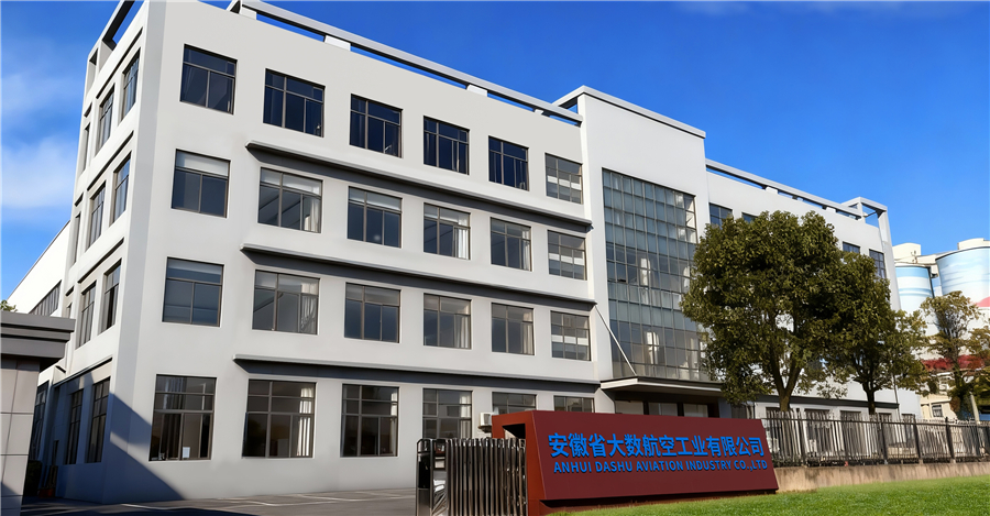

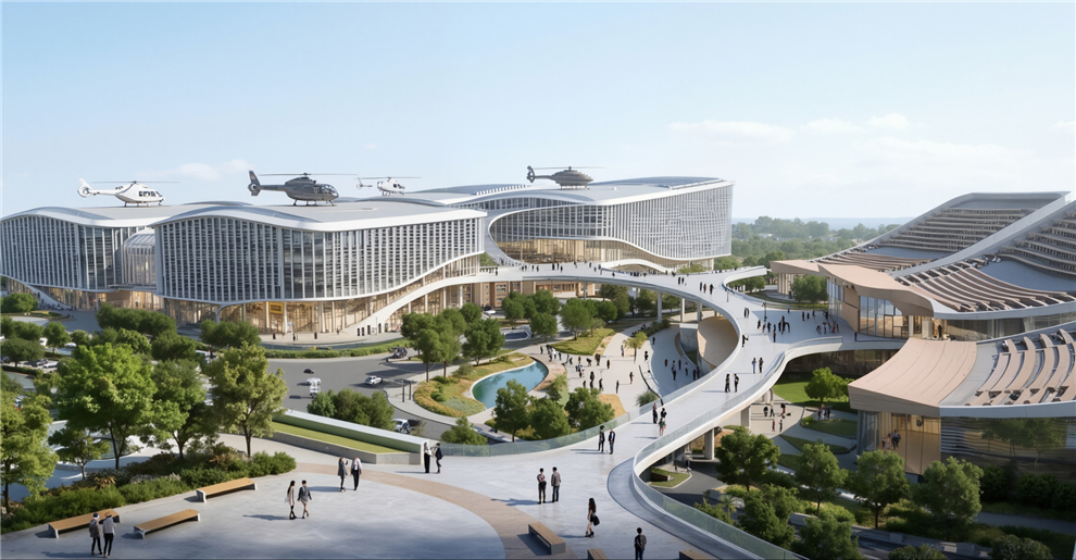

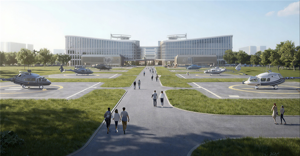
We design and manufacture new-energy aircraft for real people and real-world needs. From safeguarding harvests to moving what matters most, our UAV solutions are built to fit seamlessly into your life and work, no matter the mission.

— The future of urban air mobility. Efficient, and completely emission-free, our eVTOL aircraft are designed for passenger transport and city logistics. They can decongest crowded roads, reduce travel times, and lower carbon footprints — making daily commutes faster and cleaner for everyone.

— Precision crop protection that saves time, reduces waste, and significantly improves yields. Our drones navigate complex farmland with ease, automatically avoiding obstacles while applying fertilizers and pesticides exactly where needed. This keeps farmers safe from chemical exposure, lowers operational costs, and supports sustainable farming practices.

— Reliable logistics solutions for last-mile delivery, emergency supply transport, and industrial operations. Whether it's delivering medical supplies to remote villages, transporting construction materials to mountain sites, or supporting disaster relief efforts, our drones carry heavy payloads over challenging terrain with minimal human intervention.
Explore our full range of construction UAVs and aerial platforms engineered for agronomic data collection, field research, precision spraying, and crop monitoring missions.
Certified quality, safety, and compliance — underpinning every construction UAV platform we deliver for agronomy research and commercial operations.