Leave Your Message
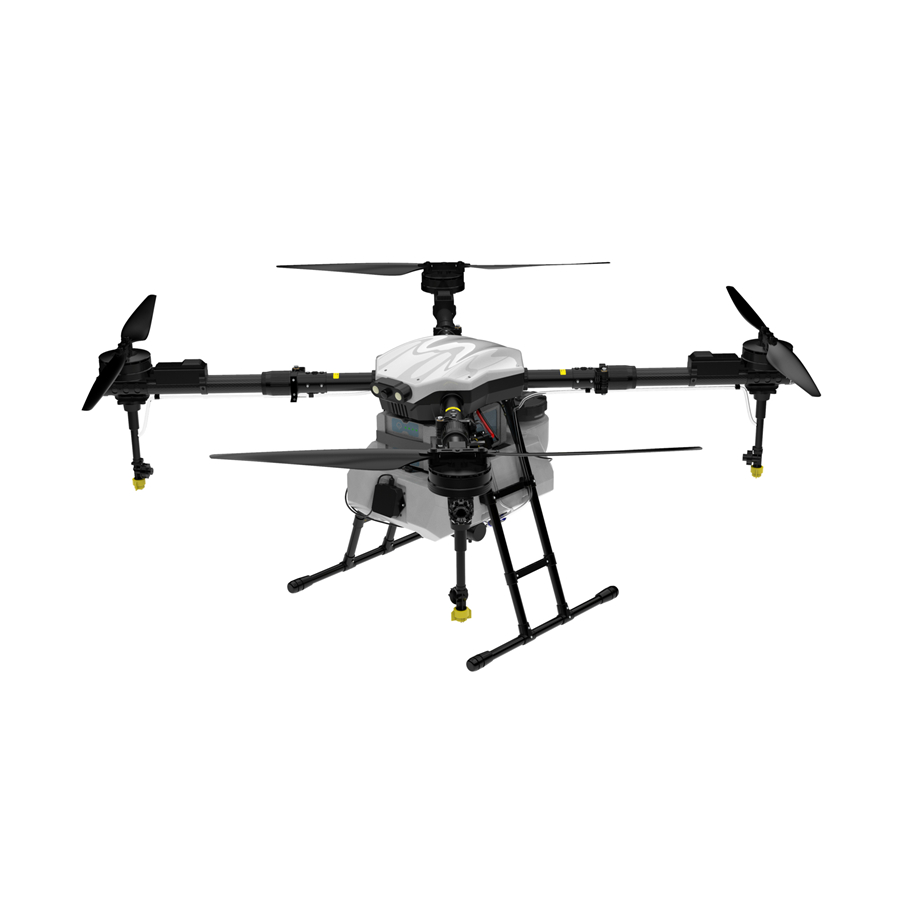
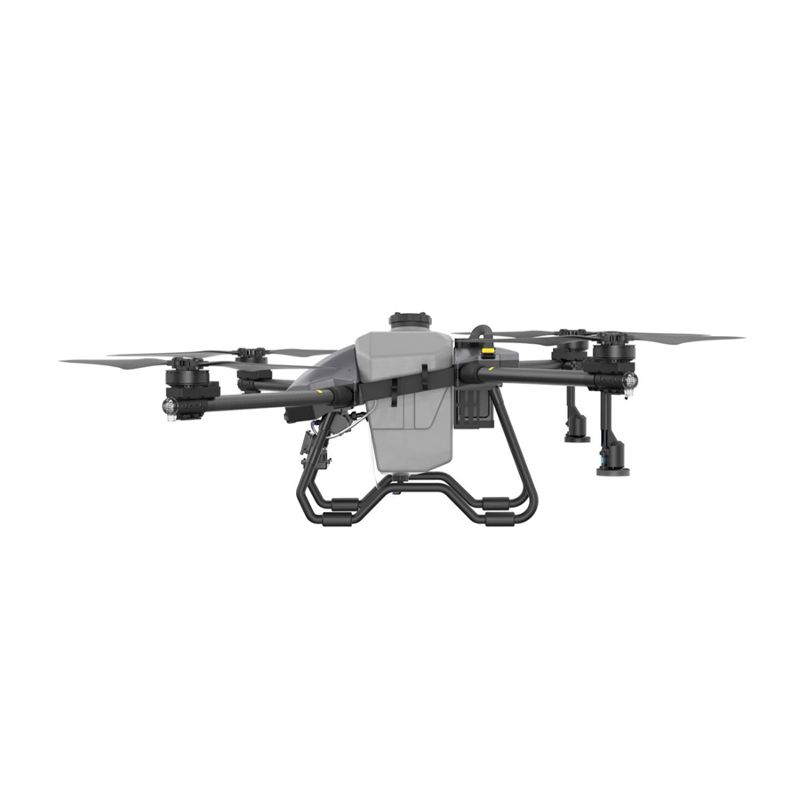
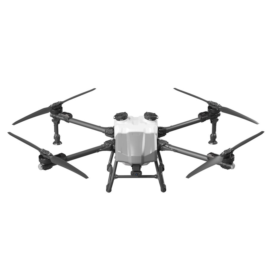
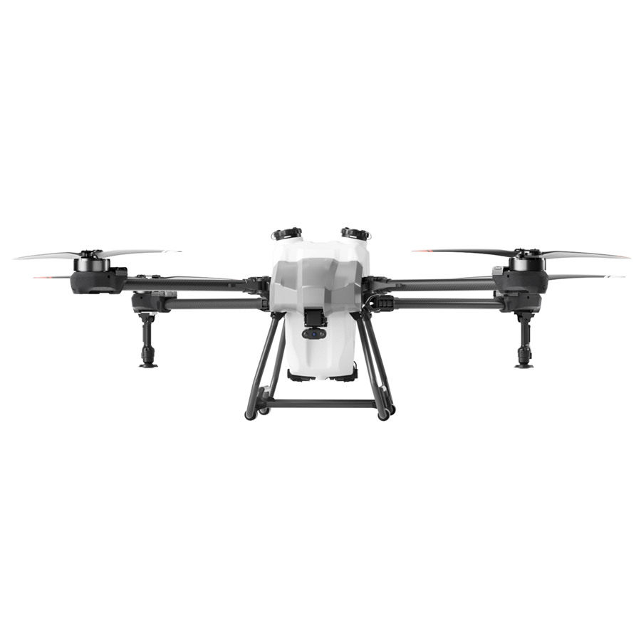
High-performance UAVs engineered for precision field operations — from compact 10L sprayers to heavy-duty 22L platforms with advanced radar sensing.
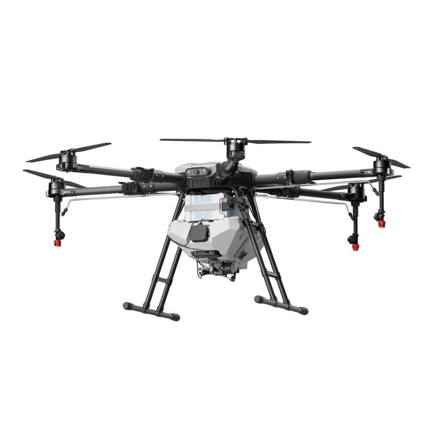
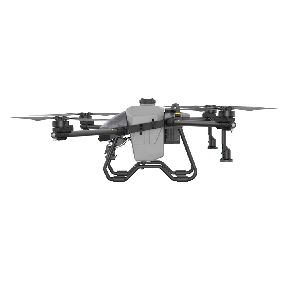
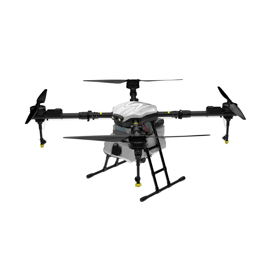
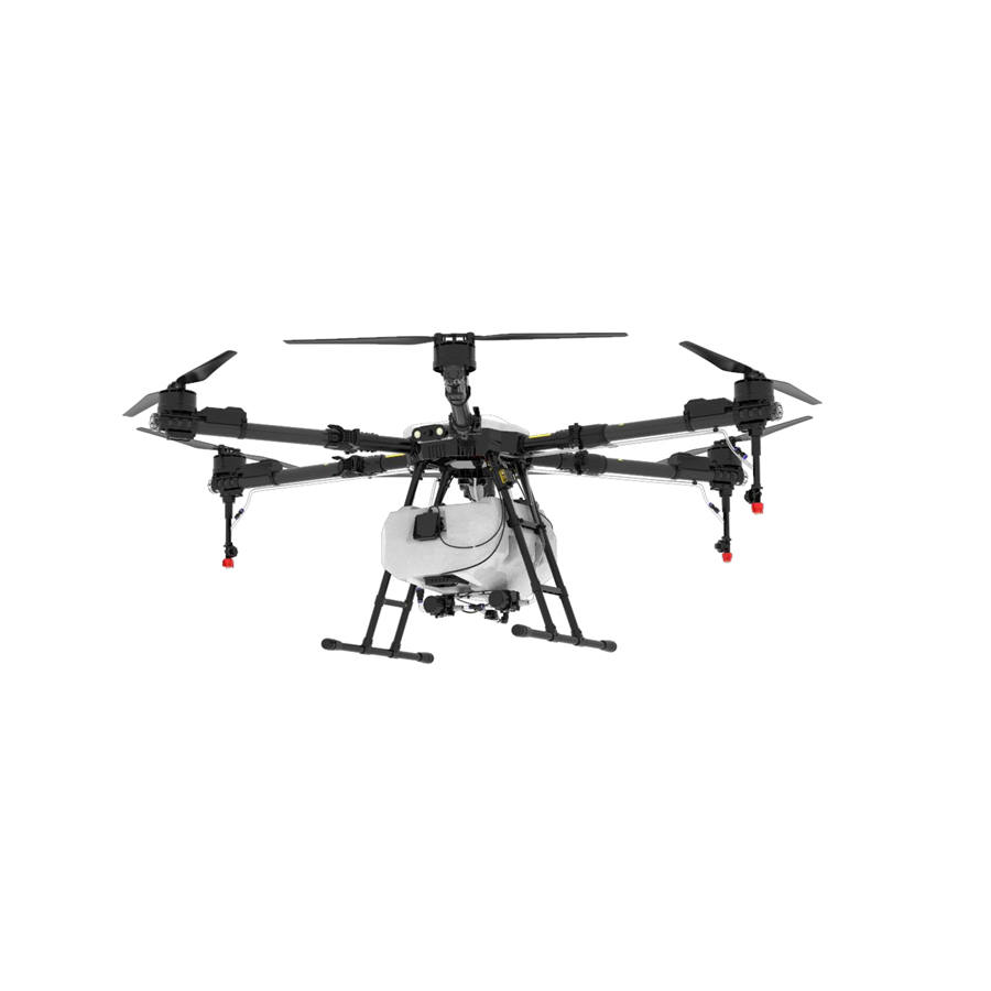
An infrared drone for seeding and planting is an unmanned aerial vehicle (UAV) equipped with infrared (IR) imaging sensors, precision dispensing systems, and AI-driven navigation software to optimize seed distribution, monitor field health, and automate crop establishment at scale. By integrating thermal infrared cameras with intelligent flight planning, these drones can detect soil temperature variation, moisture gradients, and plant stress — enabling farmers to seed only where conditions are ideal, and to monitor germination progress without ever setting foot in the field.
Infrared sensors on agricultural drones detect heat emitted from the earth's surface. Soil temperature directly influences germination rates — seeds planted in soil that is too cold or waterlogged will fail. An IR-equipped drone generates real-time thermal maps that guide variable-rate seeding: denser sowing in optimal zones, sparser or delayed planting in cold spots. This precision approach reduces seed waste by up to 30% while maximizing germination uniformity across large fields.
Modern infrared seeding drones leverage machine learning algorithms to process IR data in real-time, automatically adjusting flight altitude, seeder flow rate, and overlap pattern. Integrated RTK GPS ensures centimeter-level planting accuracy, while obstacle-avoidance radar prevents collisions with terrain features or field infrastructure. The result is a fully autonomous seeding run that can cover dozens of hectares per day with minimal operator involvement.
Infrared seeding drones are compatible with a wide range of seed types — rice, wheat, rapeseed, cover crops, and reforestation species. Centrifugal spreader discs handle granular or pelleted seeds, while pressurized liquid-seed slurry systems target direct-seeding of paddy and specialty crops. Dual-channel dispensers allow simultaneous seeding and fertilizer application in a single pass, dramatically reducing field operation time.
Advanced platforms like those in Anhui DaShu Aviation's QT series can switch between spraying (fertilizer/pesticide) and seeding modes within the same flight mission. Post-seeding, the drone can immediately broadcast a germination-enhancing foliar spray, integrating two critical operations into one pass. This multi-function capability slashes total field turnaround time and reduces compaction from heavy ground machinery.
The global agricultural drone market surpassed USD 5.8 billion in 2023 and is projected to exceed USD 19 billion by 2030, driven by the rapid adoption of infrared seeding, precision spraying, and autonomous crop monitoring. Asia-Pacific — led by China, Japan, and India — accounts for more than 45% of total drone agricultural deployments, with infrared-equipped platforms representing the fastest-growing product segment.
Infrared drone technology for seeding and planting is reshaping the commercial agriculture value chain across multiple dimensions.
| Trend | Description | Impact on Seeding & Planting |
|---|---|---|
| AI + IR Fusion | Machine learning models trained on infrared thermal signatures to predict optimal sowing windows | Higher germination rates, reduced replanting costs |
| Swarm Seeding | Coordinated multi-drone fleets operating autonomously across thousands of hectares | Massive scale with minimal labor, 24/7 operation |
| 5G Connectivity | Real-time streaming of infrared field data to cloud analytics platforms | Instant agronomic decision-making and remote control |
| Carbon Credits | Precision seeding reduces over-fertilization and soil disturbance, earning verifiable carbon offsets | New revenue stream for progressive farmers |
| Reforestation Programs | Government-backed aerial tree-seeding initiatives using IR drones in remote terrain | Ecological restoration at unprecedented scale and speed |
From rice paddies to mountain reforestation sites, infrared seeding drones deliver measurable results across a diverse spectrum of real-world use cases.
IR thermal maps identify optimal soil temperature zones in paddy fields, triggering seeder deployment only where conditions exceed germination thresholds. This eliminates transplanting labor and reduces seedling mortality rates by up to 25%, delivering consistent stand establishment across large paddy operations in Asia and Africa.
In post-fire or degraded hillside terrain, infrared seeding drones can deliver native tree seeds mixed with hydrogel capsules at precise GPS coordinates. IR sensors detect bare mineral soil versus ground-cover areas, ensuring seeds land on receptive substrate. Drone reforestation programs have achieved planting rates of over 100,000 seeds per day per aircraft.
Broadcasting cover crop seed from a drone while the primary crop canopy is still present — a technique called "overseeding" — saves critical autumn planting windows. Infrared imaging distinguishes the maturing crop canopy from open soil gaps, directing seed precisely into exposed areas for maximum seed-to-soil contact before the main harvest.
Hillside terraces, wetlands, and conservation areas inaccessible to ground machinery are ideal candidates for IR drone seeding. No ground compaction. No soil disruption. Infrared cameras help pilots avoid rocky outcrops and guide variable-rate dispensing based on soil heat retention patterns unique to complex topographies.
For crops like saffron, lavender, or medicinal herbs, accurate row placement and seeding depth consistency translate directly into premium yields. Infrared-equipped drones map micro-climate variations within a single field, enabling zone-specific planting strategies that protect high-value seedlings from late-frost risk zones identified via thermal imaging.
After flooding events, soil condition recovery is non-uniform. Infrared drones rapidly scan entire flooded farm areas to identify sections with viable soil temperatures and moisture levels for immediate re-seeding. This cuts post-disaster crop recovery timelines from weeks to days, protecting farmers' seasonal income and food security at a regional level.
A single drone can seed 20–40 hectares per flight hour, making it economically viable for large commercial farms and cooperatives.
RTK GPS combined with IR field mapping ensures row-to-row consistency, eliminating gaps and overlaps that lead to yield losses.
Reduced seed waste, zero soil compaction, and minimal labor requirements cut per-hectare planting costs by 40–60% versus tractor-based methods.
Aerial seeding eliminates the need for tillage or mechanical seeders, preserving soil microbiome integrity and reducing erosion risk.
Live infrared feed creates actionable soil-health dashboards visible to agronomists remotely, enabling data-driven management decisions throughout the growing season.
Operators stay safely away from fields during planting and combined spray operations, eliminating occupational health hazards associated with traditional farming.
From safeguarding harvests to moving what matters most, our UAV solutions are built to fit seamlessly into your life and work, no matter the mission.

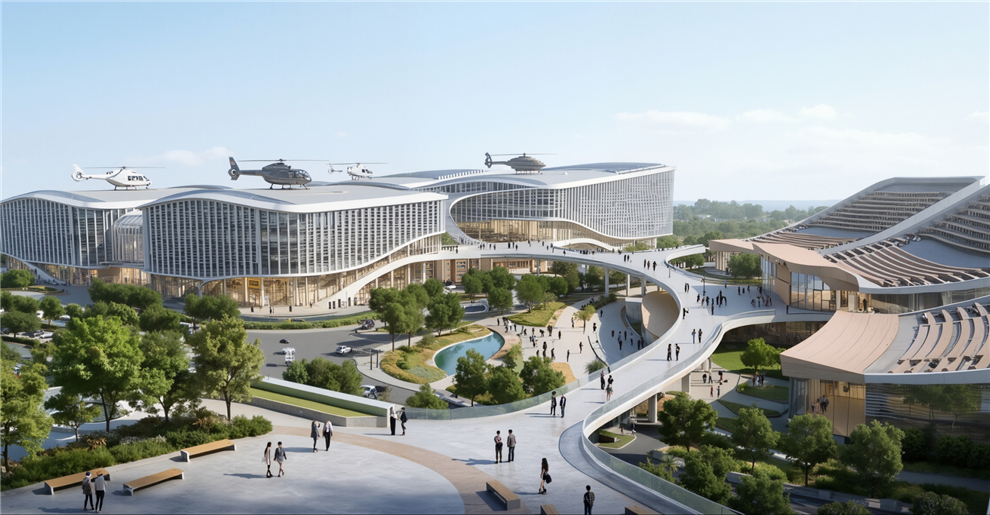
— The future of urban air mobility. Efficient, and completely emission-free, our eVTOL aircraft are designed for passenger transport and city logistics. They can decongest crowded roads, reduce travel times, and lower carbon footprints — making daily commutes faster and cleaner for everyone.

— Precision crop protection and intelligent seeding that saves time, reduces waste, and significantly improves yields. Our drones navigate complex farmland with ease, automatically avoiding obstacles while applying fertilizers, pesticides, and seed exactly where needed. This keeps farmers safe from chemical exposure, lowers operational costs, and supports sustainable farming practices.

— Reliable logistics solutions for last-mile delivery, emergency supply transport, and industrial operations. Whether it's delivering medical supplies to remote villages, transporting construction materials to mountain sites, or supporting disaster relief efforts, our drones carry heavy payloads over challenging terrain with minimal human intervention.
We believe the sky is not a limit — it's the next frontier for everyday mobility.
At Anhui DaShu Aviation, we're on a mission to make aerial services accessible to everyone. Whether it's helping farmers protect their crops more efficiently with infrared seeding and planting drones, delivering heavy cargo to hard-to-reach areas, or reimagining how people and goods move across cities — we're building the aircraft that will take you there.
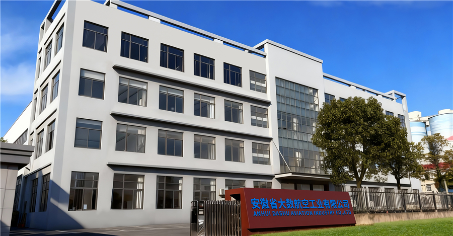
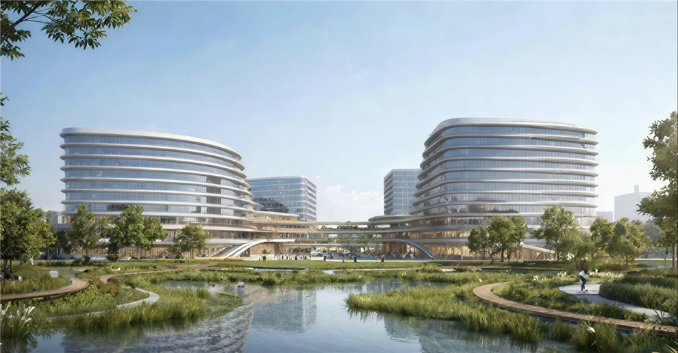
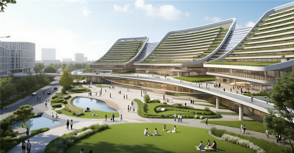
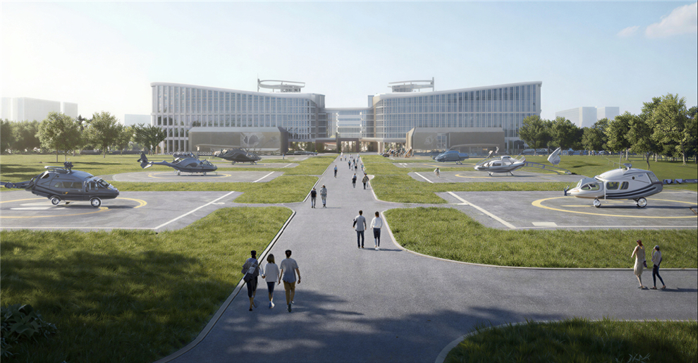
Our R&D and manufacturing center is located in Hefei, China, spanning over 14,800 m² — including an 8,840 m² production workshop and a 2,080 m² office hub. We're proud to be part of the low-altitude economy revolution, working every day to empower smarter, more connected, and more inspiring cities around the world.
A smarter, safer, and more reliable ecosystem for intelligent three-dimensional mobility.
Simpler technology, safer flights, and more dependable experiences — because the future of flight shouldn't be complicated or out of reach.
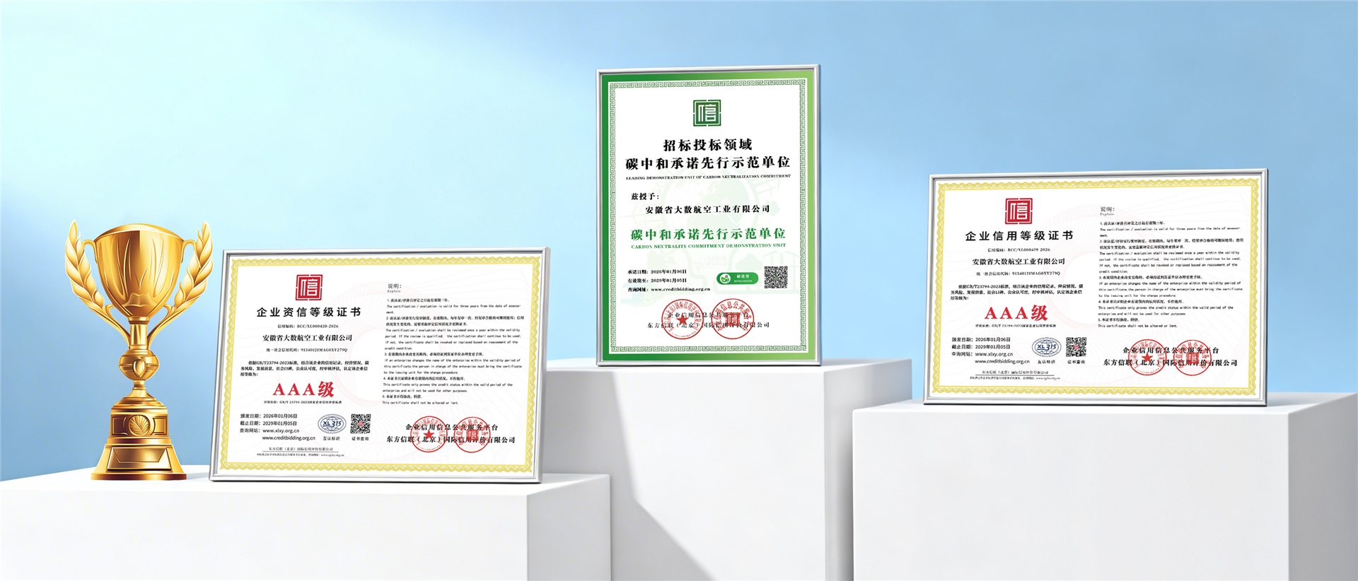
Our infrared seeding drones and agricultural UAV platforms are manufactured to the highest international quality and safety standards, backed by certified credentials.
Discover our full lineup of intelligent agricultural UAVs — purpose-built for every seeding, planting, and precision-spray scenario imaginable.