Leave Your Message
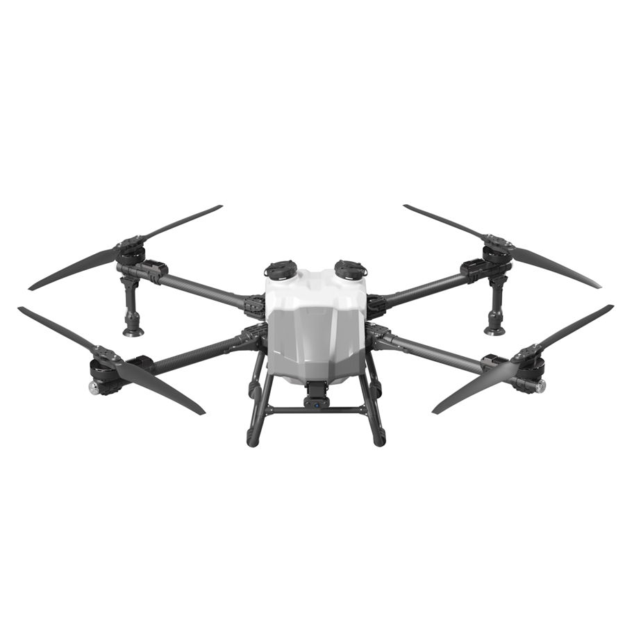
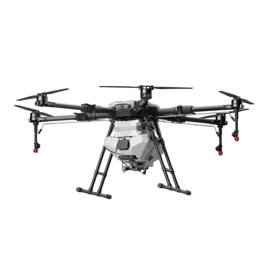
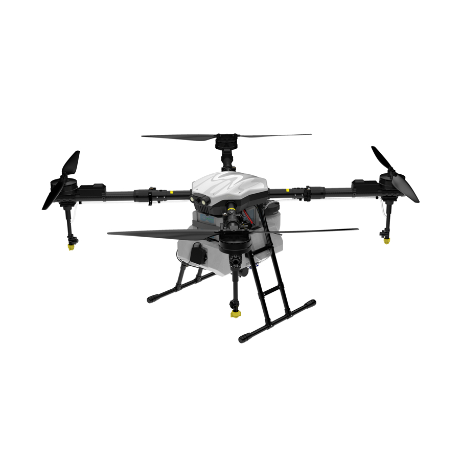
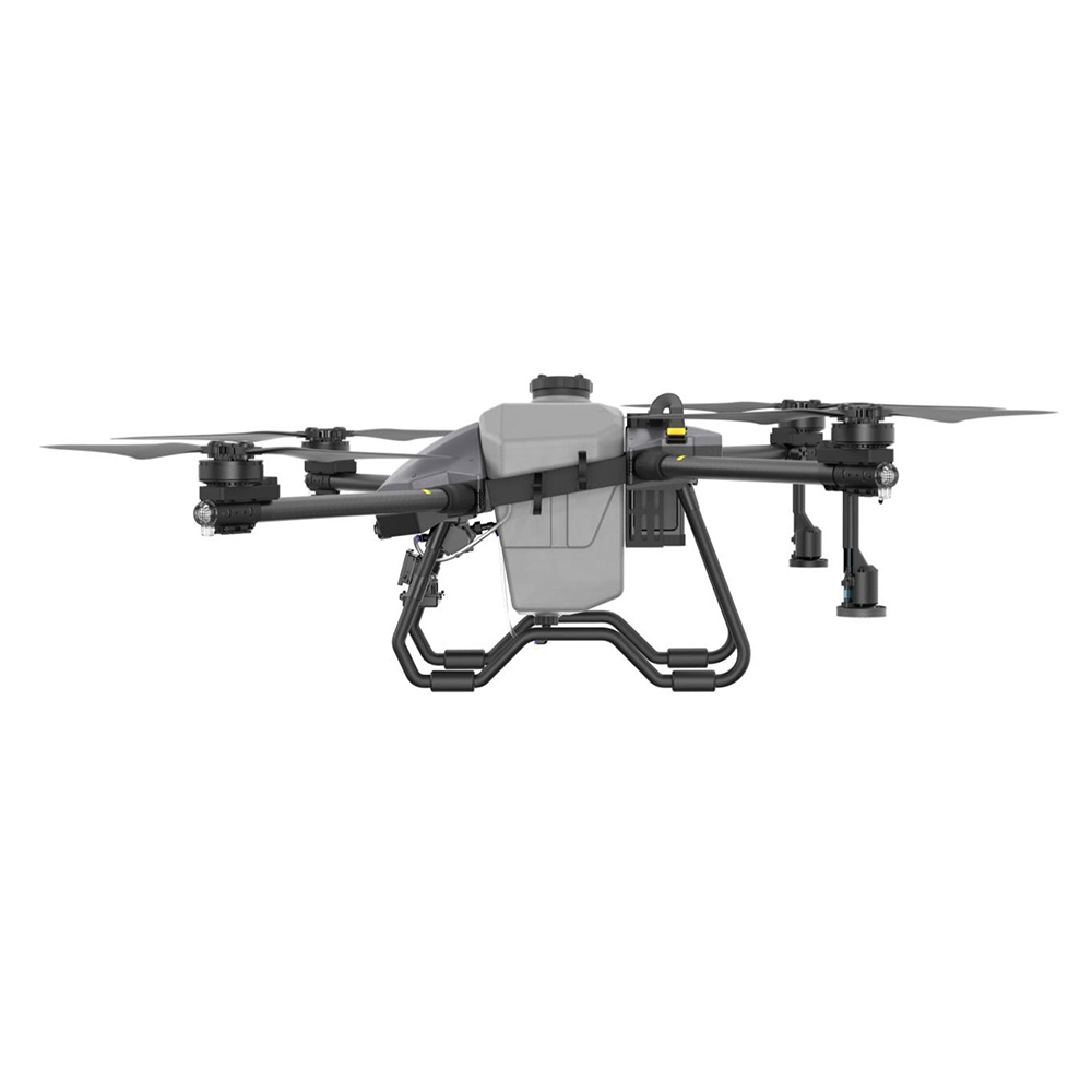
Our flagship UAV models — ready for LiDAR payload integration across Indonesia's most demanding mapping and surveying environments.
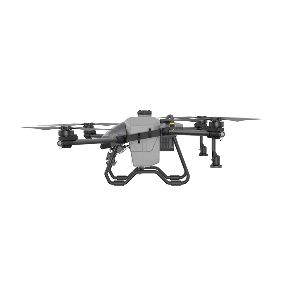
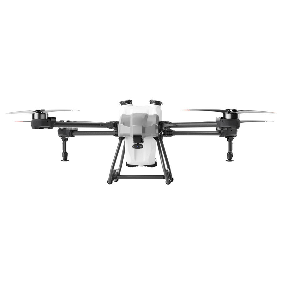
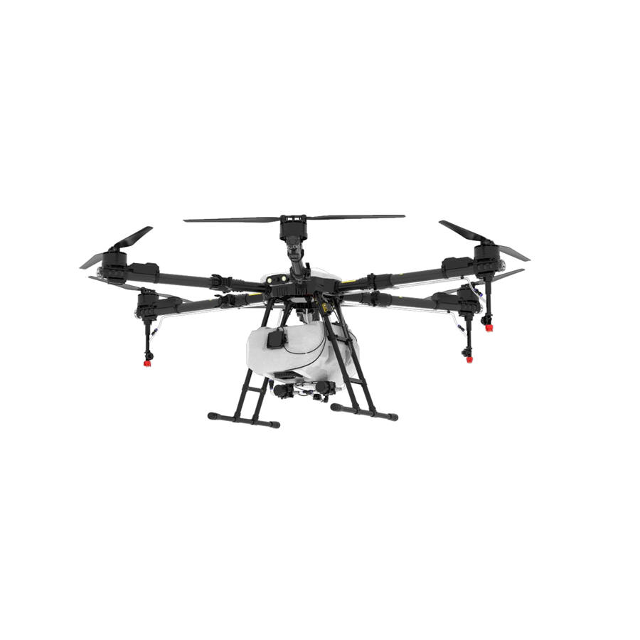
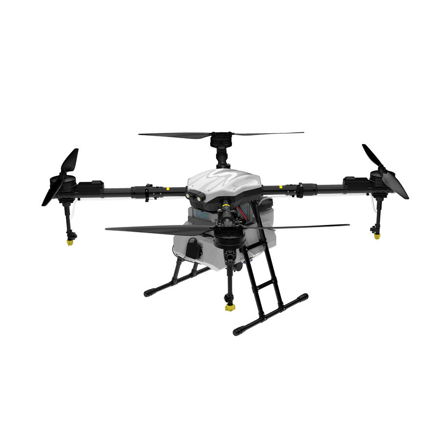
Indonesia's vast archipelago — spanning over 17,000 islands and 1.9 million km² of land — presents unique and immense opportunities for UAV LiDAR mapping technology.
Indonesia is the world's largest palm oil producer, with over 14 million hectares under cultivation. LiDAR drones enable precise canopy height mapping, biomass estimation, and disease detection — dramatically reducing the cost of aerial surveys across Sumatra and Kalimantan.
Indonesia's National Strategic Projects (PSN) program is investing over USD 400 billion in roads, railways, and new capital city Nusantara. LiDAR mapping drones provide centimeter-level topographic data essential for route planning, earthwork volume calculations, and BIM model generation.
With 54,000 km of coastline, Indonesia relies on LiDAR UAVs for mangrove mapping, shoreline change analysis, coral reef monitoring, and tsunami inundation modeling — critical for disaster preparedness in one of the world's most seismically active regions.
Indonesia's mineral-rich terrain — rich in nickel, bauxite, and coal — demands frequent volumetric stockpile surveys and pit mapping. LiDAR drones deliver accurate 3D terrain models for Kalimantan and Papua mining operations, replacing costly manned aircraft surveys.
Indonesia's commitment to REDD+ programs and carbon credit markets requires verifiable forest biomass data. LiDAR-equipped drones provide the sub-meter canopy structure data required for MRV (Monitoring, Reporting, and Verification) compliance across Papua and Sumatra's tropical forests.
Jakarta, Surabaya, Bandung, and the emerging Nusantara smart city initiative all require high-resolution 3D urban models. LiDAR drones enable rapid city-scale point cloud generation for utilities mapping, flood risk modeling, and autonomous vehicle HD map creation.
We believe the sky is not a limit — it's the next frontier for everyday mobility.
At Anhui DaShu Aviation, we're on a mission to make aerial services accessible to everyone. Whether it's helping farmers protect their crops more efficiently, delivering heavy cargo to hard-to-reach areas, or reimagining how people and goods move across cities — we're building the aircraft that will take you there.
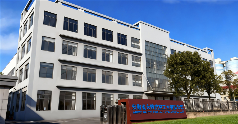
Our R&D and manufacturing center is located in Hefei, China, spanning over 14,800 m² — including an 8,840 m² production workshop and a 2,080 m² office hub. We're proud to be part of the low-altitude economy revolution, working every day to empower smarter, more connected, and more inspiring cities around the world.
A smarter, safer, and more reliable ecosystem for intelligent three-dimensional mobility.
Simpler technology, safer flights, and more dependable experiences — because the future of flight shouldn't be complicated or out of reach.




From safeguarding harvests to moving what matters most, our UAV solutions are built to fit seamlessly into your life and work, no matter the mission.

The future of urban air mobility. Efficient and completely emission-free, our eVTOL aircraft are designed for passenger transport and city logistics. They can decongest crowded roads, reduce travel times, and lower carbon footprints — making daily commutes faster and cleaner for everyone.

Precision crop protection that saves time, reduces waste, and significantly improves yields. Our drones navigate complex farmland with ease, automatically avoiding obstacles while applying fertilizers and pesticides exactly where needed — keeping farmers safe and supporting sustainable farming practices.

Reliable logistics solutions for last-mile delivery, emergency supply transport, and industrial operations. Whether it's delivering medical supplies to remote villages, transporting construction materials to mountain sites, or supporting disaster relief efforts — our drones carry heavy payloads over challenging terrain.
From the volcanic highlands of Java to the rainforests of Papua — real-world use cases driving ROI for Indonesian operators.
Unlike photogrammetry, LiDAR penetrates dense tropical forest canopies to capture ground-level topography — a critical advantage in Indonesia's rainforest-covered terrain. Combined with UAV mobility, it delivers survey data 10× faster than traditional ground methods at a fraction of the cost.
LiDAR drone surveys enable precise Digital Elevation Models (DEM) for paddy field irrigation planning in Central Java, helping farmers optimize water distribution and increase yield per hectare by up to 18%.
The new capital city project requires extensive topographic mapping of hilly forested terrain. LiDAR drones generate precise point clouds for road alignment, land clearing volume estimation, and flood risk assessment.
Drone LiDAR enables above-ground biomass estimation at sub-hectare resolution, directly supporting Indonesia's NDC climate commitments and REDD+ carbon trading mechanisms with verifiable MRV data.
Indonesia's expanding national electricity grid requires vegetation encroachment monitoring along high-voltage corridors. LiDAR UAVs classify trees and structures with millimeter precision, reducing outage risk and manual inspection costs.
Bali's coastline and Lombok's tourism infrastructure face rapid erosion. LiDAR drones provide annual change detection data for coastal engineers and provide mangrove biomass inventories critical for marine protected areas.
Indonesia's nickel boom demands continuous stockpile volumetrics and pit geometry updates. LiDAR drone surveys replace costly manned aircraft and deliver point cloud deliverables within hours, not days.
The Indonesian UAV and geospatial market is projected to grow at over 18% CAGR through 2030, driven by regulatory reform, infrastructure investment, and digital transformation.
Indonesia's National Geospatial Agency (BIG) is mandating LiDAR-grade topographic data for national mapping programs, creating sustained government procurement demand for certified UAV LiDAR systems.
Next-generation LiDAR drones integrate onboard AI chips for real-time ground filtering and object classification, dramatically reducing post-processing time and enabling same-day deliverables for time-critical construction projects.
Solid-state LiDAR sensors are now light enough for compact multi-rotor platforms, opening LiDAR mapping to operators who previously needed fixed-wing aircraft. This democratizes precision survey for Indonesia's SME agri-tech and GIS sectors.
Indonesian startups and geospatial firms are adopting subscription-based LiDAR drone service models, lowering the barrier to entry and accelerating adoption across plantation, mining, and infrastructure sectors.
Indonesia's 5G rollout in Java and major urban centers enables real-time telemetry and Beyond Visual Line of Sight (BVLOS) drone operations, unlocking large-scale corridor and island-wide mapping missions previously requiring multiple ground teams.
As Indonesian palm oil and mining companies face growing ESG scrutiny from international buyers and investors, LiDAR-verified environmental impact assessments are becoming standard compliance tools, creating a recurring demand cycle.
Every drone and component we manufacture meets rigorous international quality, safety, and airworthiness standards — giving Indonesian partners full confidence in every deployment.

Explore our full lineup of agricultural and mapping drones — each engineered for reliability, efficiency, and seamless LiDAR payload integration.