Leave Your Message
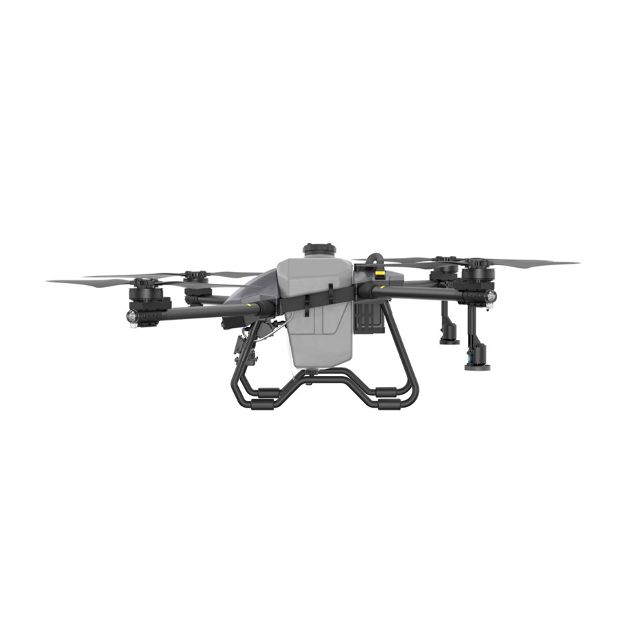
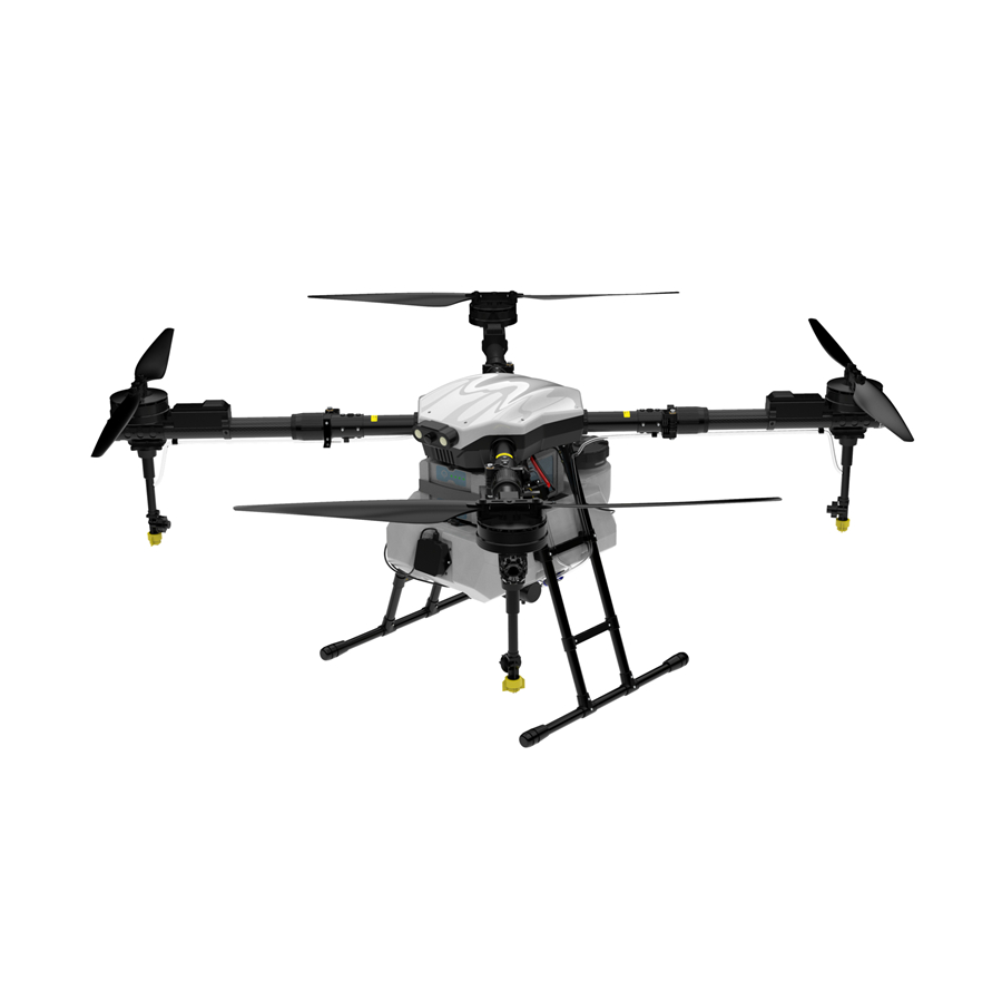
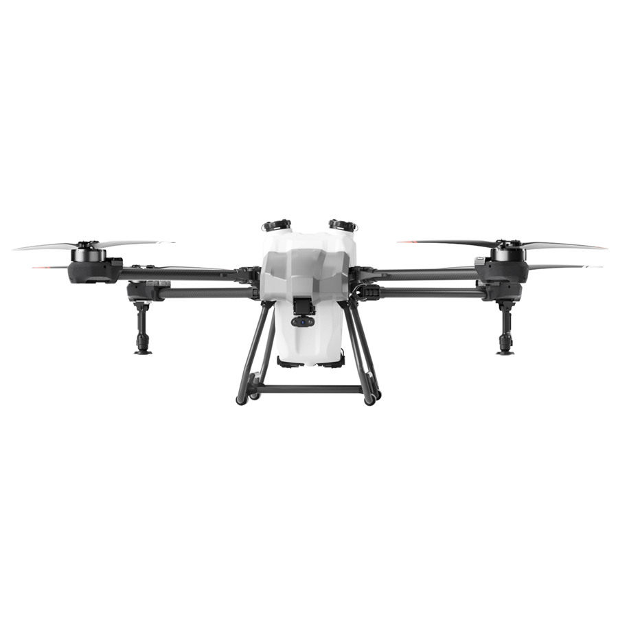
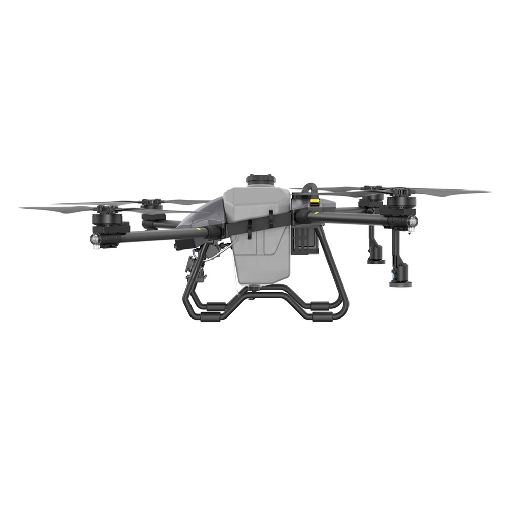
Engineered to carry high-precision LiDAR sensors and variable-rate spraying payloads, our industrial flight platforms bridge real-time hydrological mapping directly into site-specific water and nutrient distribution.
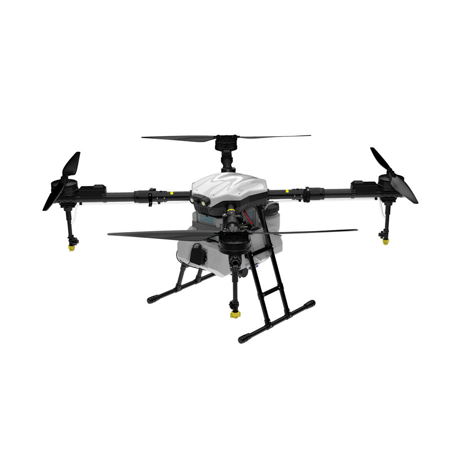
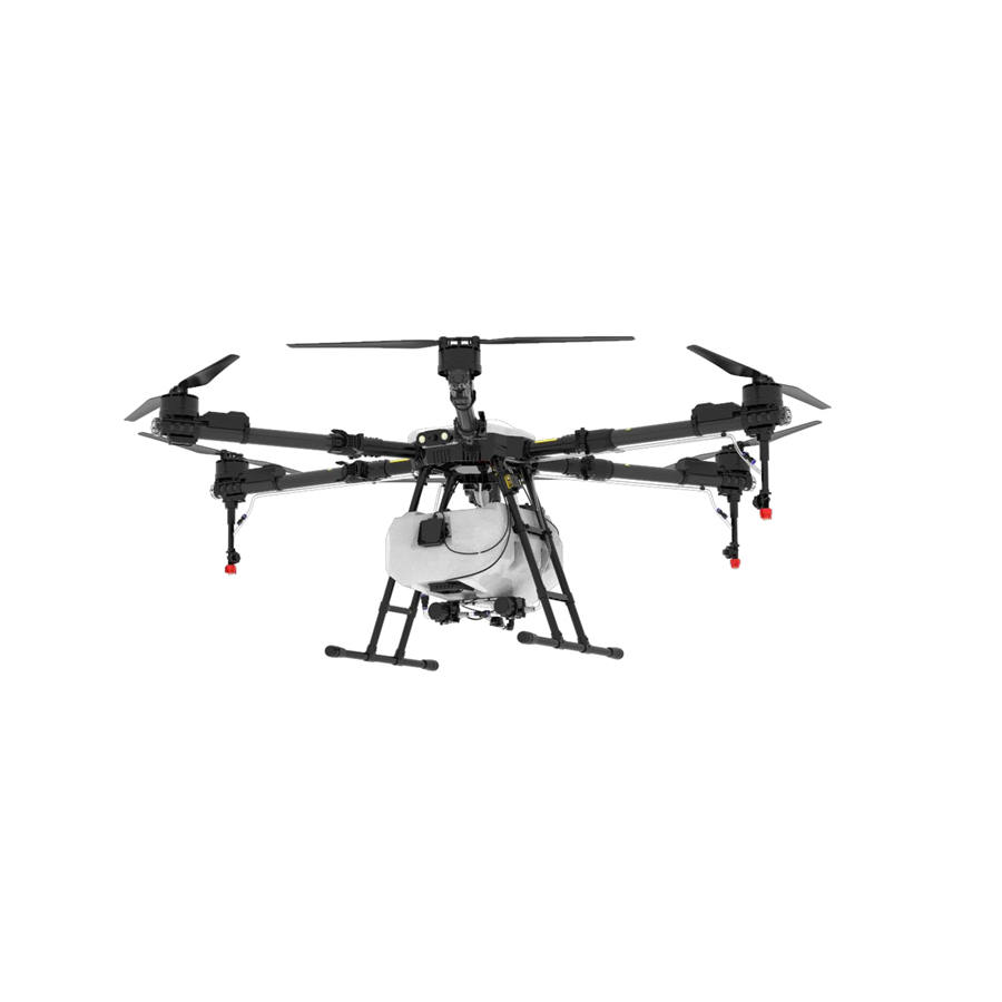
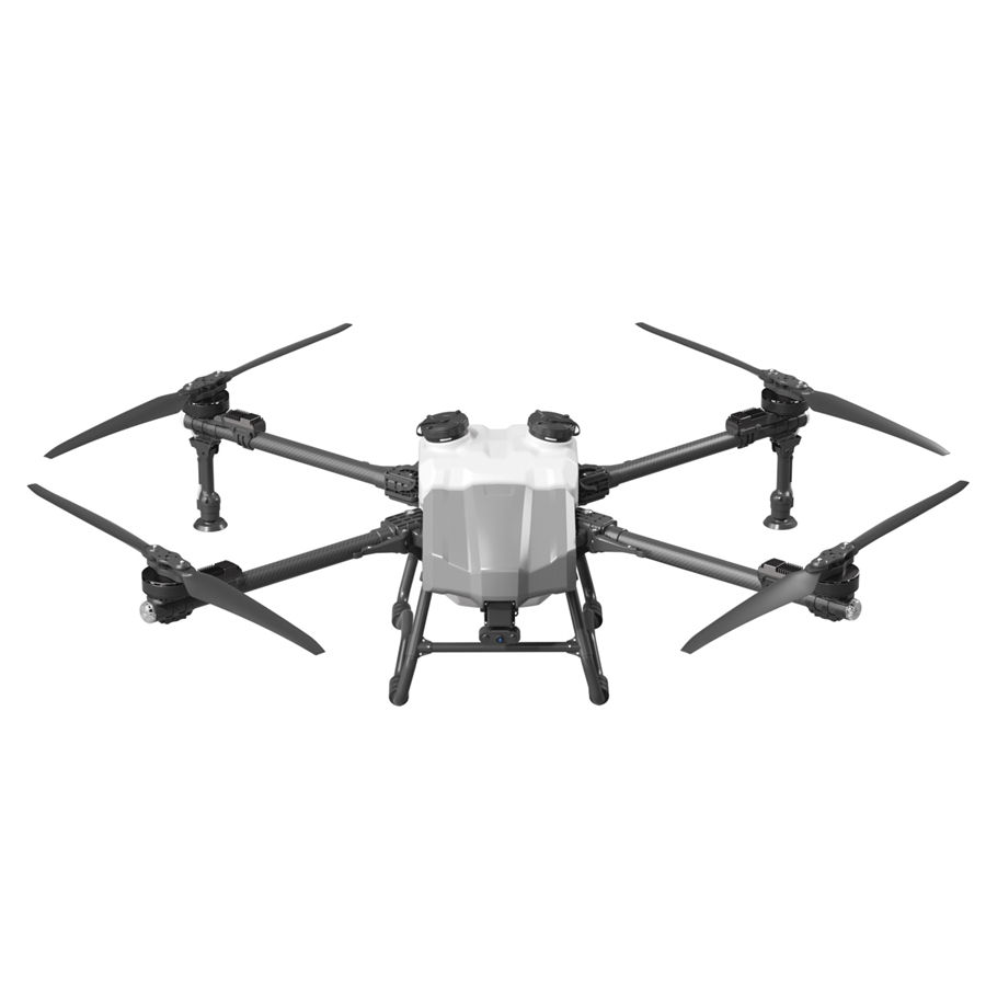
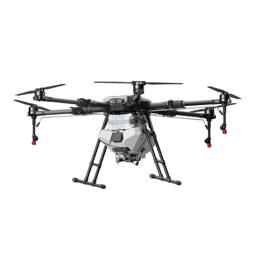
Global agriculture stands at a critical technological inflection point. As climate unpredictability strains freshwater reservoirs and underground aquifers, irrigation management can no longer rely on coarse approximations or antiquated surface elevation surveys. The deployment of a LiDAR scanner drone for irrigation mapping has emerged as the premier solution for modern hydrologists, agronomists, and civil drainage engineers seeking definitive micro-topographic insight across vast agricultural landscapes.
Unlike traditional aerial photogrammetry—which struggles intensely when dense foliage, crop canopies, or weed covers obscure the underlying soil—drone-mounted LiDAR (Light Detection and Ranging) emits hundreds of thousands of discrete laser pulses per second. These multi-return laser pulses navigate through the micro-gaps within orchard canopies, sugar cane leaves, and tall maize stalks to strike the actual ground surface. The resulting return pulses generate an authentic Bare-Earth Digital Elevation Model (DEM) and Digital Terrain Model (DTM), revealing the exact micro-contours that govern surface runoff, water accumulation, and gravitational furrow dynamics.
Passive camera sensors capture only the reflective visual canopy of crops (Digital Surface Model - DSM). When an agronomist designs drip tape grades, center-pivot levelers, or drainage culverts based purely on visual photogrammetry, standing vegetation introduces artificial elevation errors exceeding 0.5 to 1.5 meters. Drone LiDAR actively penetrates the vegetative envelope, delivering true ground micro-topography with vertical accuracy within 2 to 5 centimeters.
Integrating unmanned aerial laser scanning into agricultural irrigation planning unlocks high-fidelity insights that streamline water efficiency, mitigate soil salinization, and slash pumping costs. Below is a detailed breakdown of core operational scenarios where LiDAR drones fundamentally outperform legacy surveying methods:
Extract absolute bare-ground elevation under mature crops. Drone LiDAR leverages multiple echo returns (first, intermediate, and last returns) to isolate crop architecture from true soil elevations, producing sub-decimeter surface contour lines essential for gravitational furrow flow calculations.
Simulate hydraulic flow paths with precision. High-density LiDAR point clouds empower GIS algorithms to calculate exact sink zones, pooling bottlenecks, and surface runoff directions—enabling proactive prevention of waterlogging and root rot conditions before seeds are planted.
Maintain gravity-fed irrigation channels without manual ground transit. LiDAR scanning rapid-profiles concrete aqueducts and earthen ditches, identifying silt build-ups, berm subsidence, and bank erosion that degrade delivery efficiency and increase water transmission loss.
Couple topographic slope gradients with variable-frequency center pivot nozzles. By correlating micro-elevations with localized soil drainage capacities, LiDAR maps form the foundational layer for automated VRI sector scheduling, eliminating both under-watering and wasteful runoff.
Accurate underground tile drainage installation hinges on precise surface slope calculations. Uncrewed LiDAR surveys furnish centimeter-accurate fall-ratios across extensive farm tracts, guaranteeing that subterranean drainage pipes drain naturally without costly back-slope errors.
Execute laser-guided soil redistribution with minimal cut-and-fill fuel consumption. High-density drone point clouds allow earthmoving operators to pre-plan optimal field leveling vectors, ensuring zero water pooling while preserving nutrient-dense topsoil layers.
Transforming aerial laser returns into actionable hydraulic management strategies follows a rigorous, sensor-calibrated workflow. High-performance survey drones integrate multi-frequency GNSS-RTK receivers, high-precision Inertial Measurement Units (IMU), and pulsed laser scanners operating across the near-infrared spectrum:
While LiDAR maps physical terrain elevation and slope vectors with unmatched vertical precision, next-generation agricultural intelligence couples laser topography with radiometric thermal and multispectral sensors. This sensor-fusion methodology enables complete hydrological situational awareness:
Commercial agricultural producers employing drone LiDAR for precision field grading and irrigation mapping realize quantifiable economic returns:
• Water Consumption Reduction: 15% – 32% reduction in total pumped volume through elimination of runoff ponding.
• Pumping Energy Savings: Significant fuel and electrical savings by optimizing center-pivot flow rates to micro-slope requirements.
• Crop Yield Equalization: Up to 18% improvement in field-wide crop uniformity by remediating previously waterlogged yield sinkholes.
• Rapid Survey Throughput: Over 1,200 hectares surveyed daily, replacing weeks of labor-intensive ground transit leveling teams.
We believe the sky is not a limit — it's the next frontier for everyday mobility. At Anhui DaShu Aviation, we're on a mission to make aerial services accessible to everyone. Whether it's helping farmers protect their crops more efficiently, delivering heavy cargo to hard-to-reach areas, or reimagining how people and goods move across cities — we're building the aircraft that will take you there.
A smarter, safer, and more reliable ecosystem for intelligent three-dimensional mobility.
Simpler technology, safer flights, and more dependable experiences — because the future of flight shouldn't be complicated or out of reach.
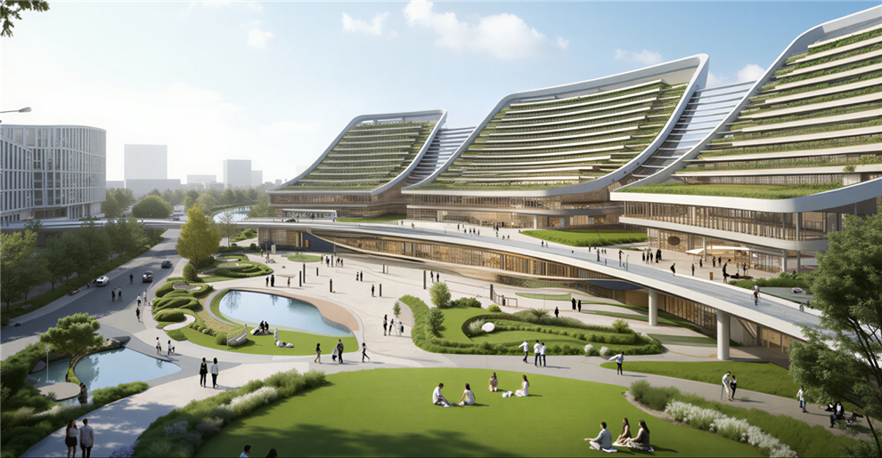
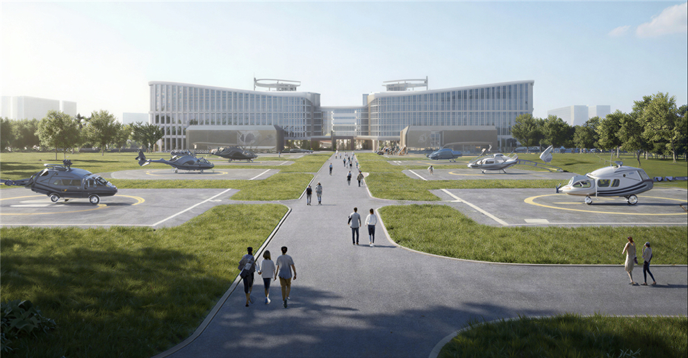
We design and manufacture new-energy aircraft for real people and real-world needs. From safeguarding harvests to moving what matters most, our UAV solutions are built to fit seamlessly into your life and work, no matter the mission.

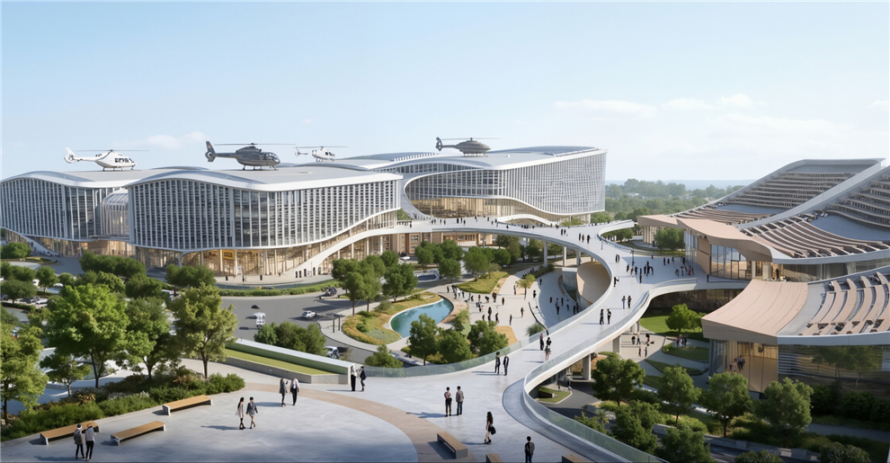
The future of urban air mobility. Efficient, and completely emission-free, our eVTOL aircraft are designed for passenger transport and city logistics. They can decongest crowded roads, reduce travel times, and lower carbon footprints — making daily commutes faster and cleaner for everyone.

Precision crop protection that saves time, reduces waste, and significantly improves yields. Our drones navigate complex farmland with ease, automatically avoiding obstacles while applying fertilizers and pesticides exactly where needed. This keeps farmers safe from chemical exposure, lowers operational costs, and supports sustainable farming practices.

Reliable logistics solutions for last-mile delivery, emergency supply transport, and industrial operations. Whether it's delivering medical supplies to remote villages, transporting construction materials to mountain sites, or supporting disaster relief efforts, our drones carry heavy payloads over challenging terrain with minimal human intervention.
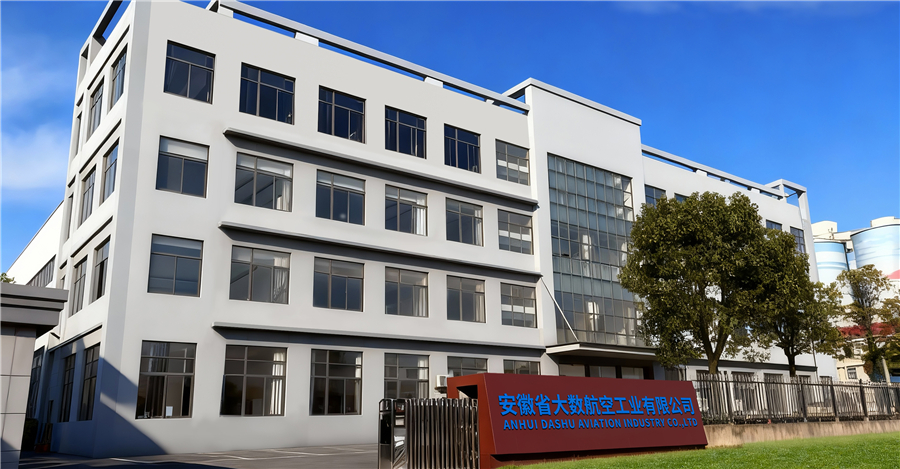
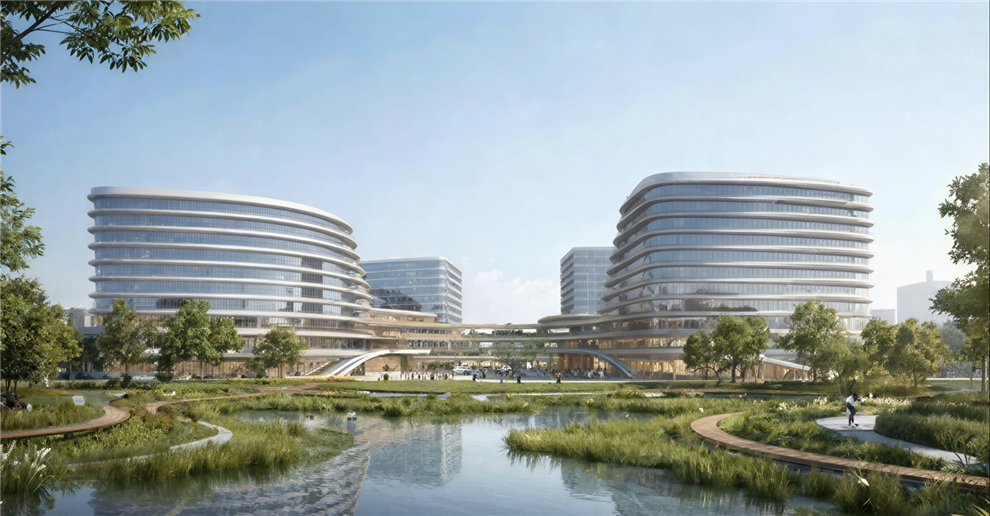
Our R&D and manufacturing center is located in Hefei, China, spanning over 14,800 m² — including an 8,840 m² production workshop and a 2,080 m² office hub. We're proud to be part of the low-altitude economy revolution, working every day to empower smarter, more connected, and more inspiring cities around the world.
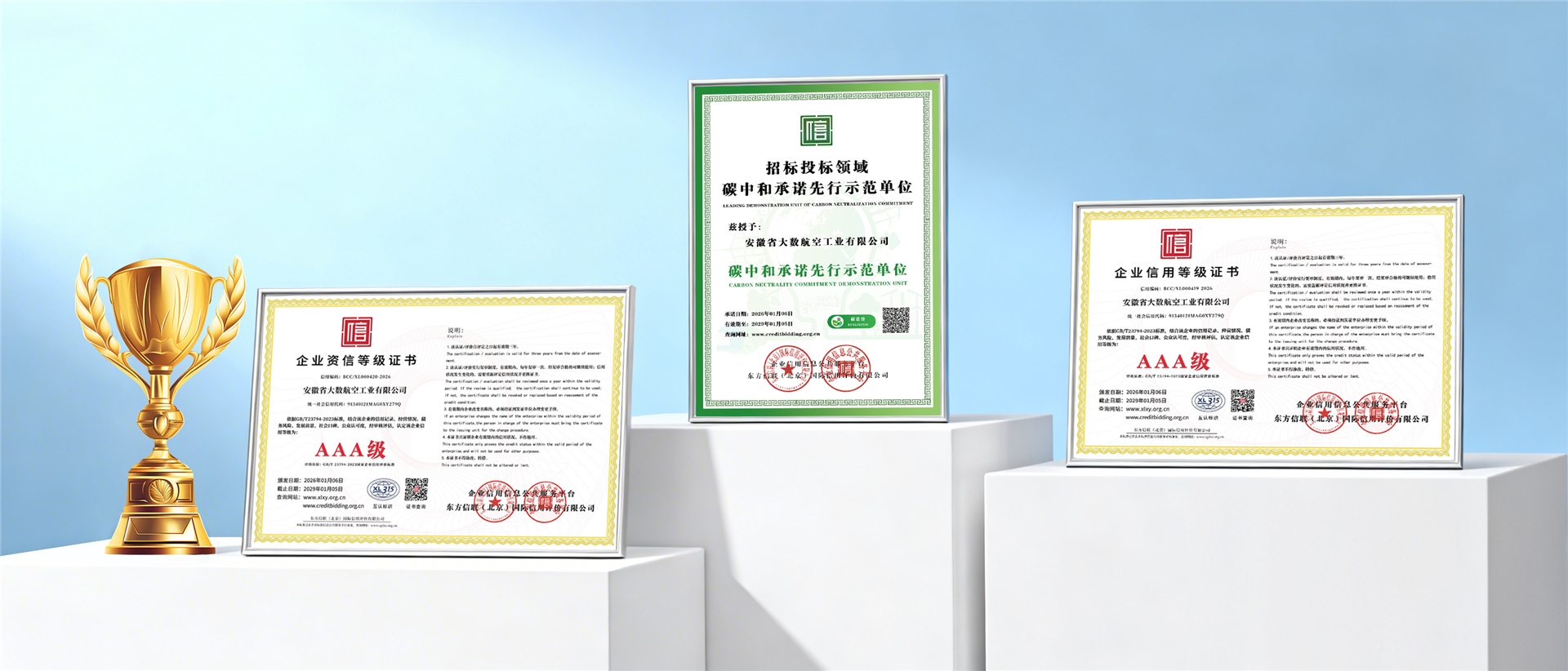
Adhering to strict international aerospace standards, civil aviation safety certifications, and precision manufacturing quality systems.
Explore our complete family of field-proven agricultural aircraft, configured for precision hydrological surveys, crop dusting, granular spreading, and intelligent terrain tracking.