Leave Your Message
High-performance RTK mapping and agricultural drone solutions engineered for Japan's demanding terrain, precision farming requirements, and smart logistics needs.
Japan stands at the forefront of the global RTK (Real-Time Kinematic) drone revolution. As one of Asia's most technologically advanced nations, Japan has embraced UAV technologies not merely as novelties but as critical infrastructure tools reshaping agriculture, construction, disaster management, and urban logistics. The RTK mapping drone market in Japan is projected to exceed ¥180 billion by 2027, driven by robust government investment in the "Society 5.0" initiative and a deepening labour shortage across primary industries.
The unique topography of Japan, characterised by mountainous interiors, narrow terraced rice paddies (棚田), and coastal plain farmlands, creates conditions that demand precision beyond what conventional GPS drones can achieve. RTK technology, offering centimetre-level positioning accuracy, fills this gap decisively — enabling drones to execute repeatable flight paths, generate high-fidelity orthomosaic maps, and apply agrochemicals with surgical precision even in GNSS-challenged environments.
From the rice-belt prefectures of Niigata and Akita to the orchard-dense highland regions of Nagano and Yamagata, RTK mapping drones are transforming how Japanese agricultural enterprises plan, monitor, and optimise their operations. Similarly, Japan's infrastructure sector — grappling with ageing bridges, tunnels, and coastal defence structures — increasingly relies on RTK-equipped drones for structural inspection and as-built surveying, dramatically reducing the cost and risk of manual inspection.
We believe the sky is not a limit — it's the next frontier for everyday mobility. At Anhui DaShu Aviation, we're on a mission to make aerial services accessible to everyone.
Whether it's helping farmers protect their crops more efficiently, delivering heavy cargo to hard-to-reach areas, or reimagining how people and goods move across cities — we're building the aircraft that will take you there.
A smarter, safer, and more reliable ecosystem for intelligent three-dimensional mobility.
Simpler technology, safer flights, and more dependable experiences — because the future of flight shouldn't be complicated or out of reach.
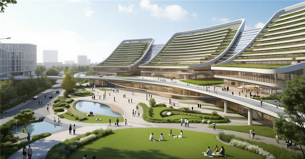
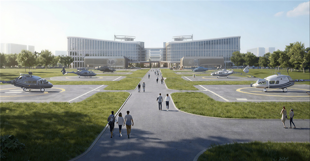
We design and manufacture new-energy aircraft for real people and real-world needs. From safeguarding harvests to moving what matters most, our UAV solutions are built to fit seamlessly into your life and work, no matter the mission.

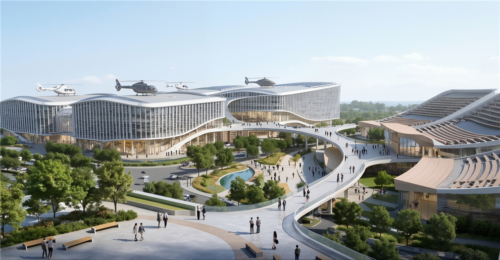
The future of urban air mobility. Efficient, and completely emission-free, our eVTOL aircraft are designed for passenger transport and city logistics. They can decongest crowded roads, reduce travel times, and lower carbon footprints — making daily commutes faster and cleaner for everyone.

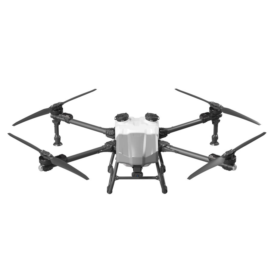
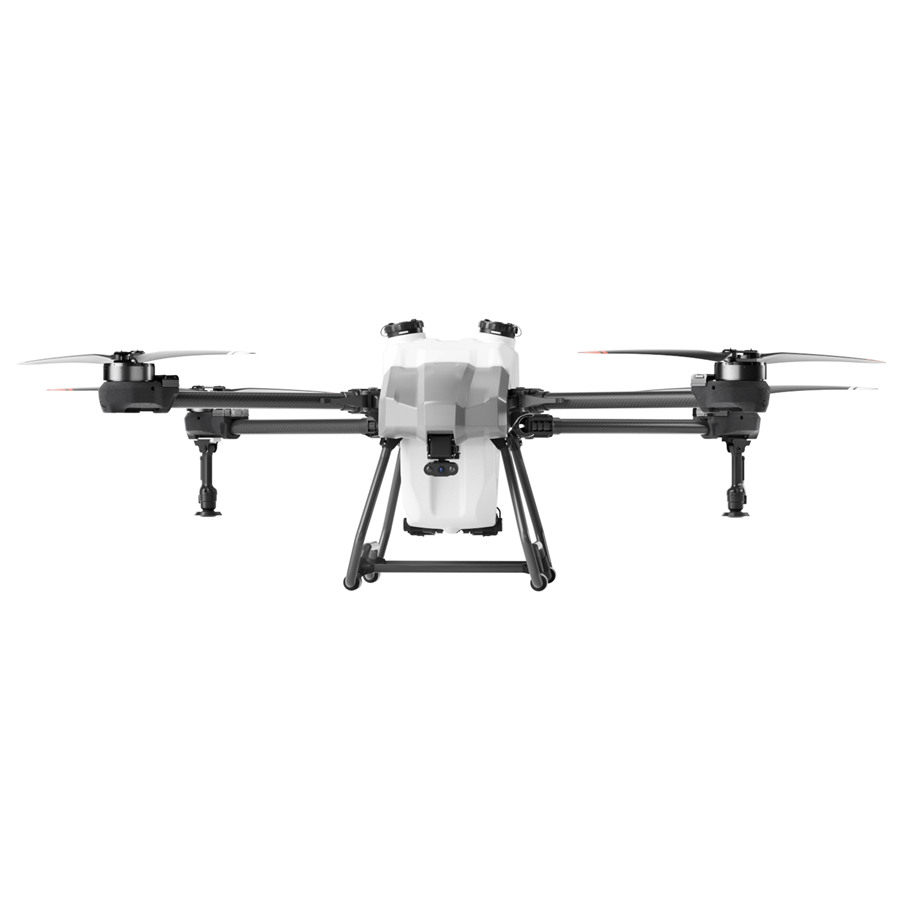
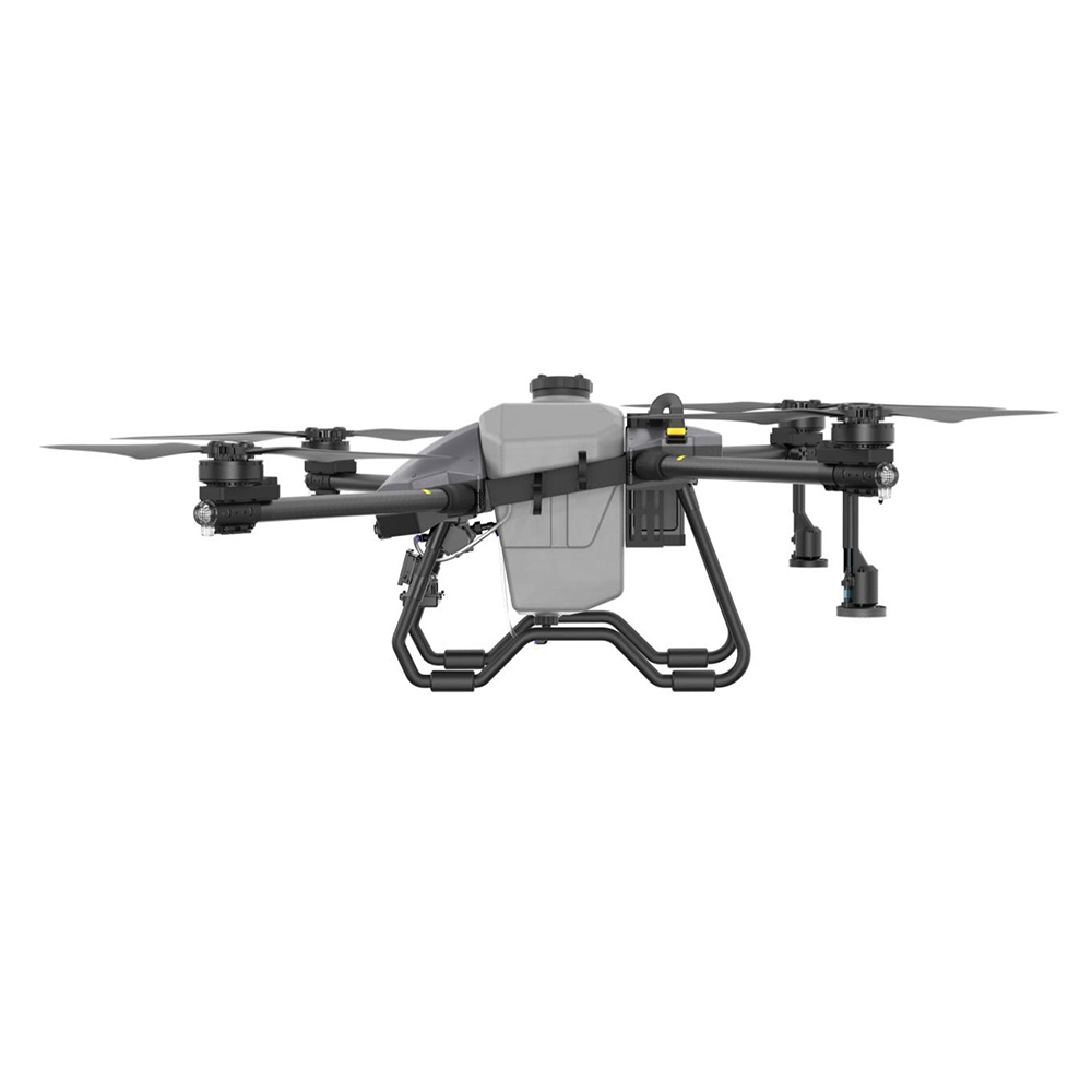
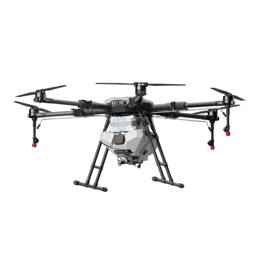
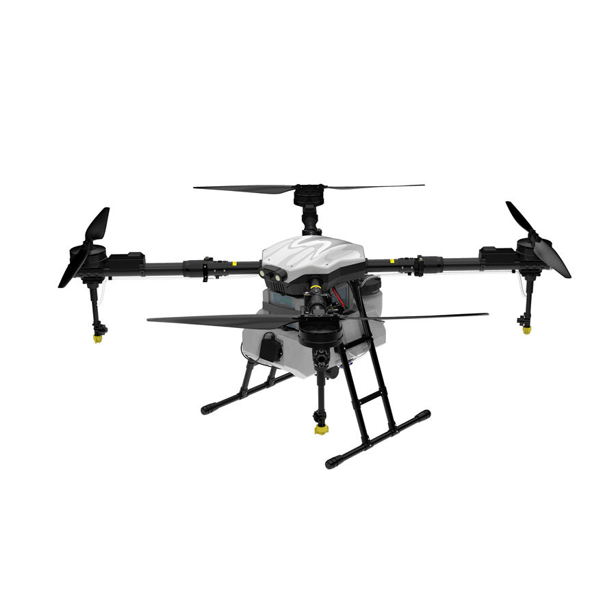
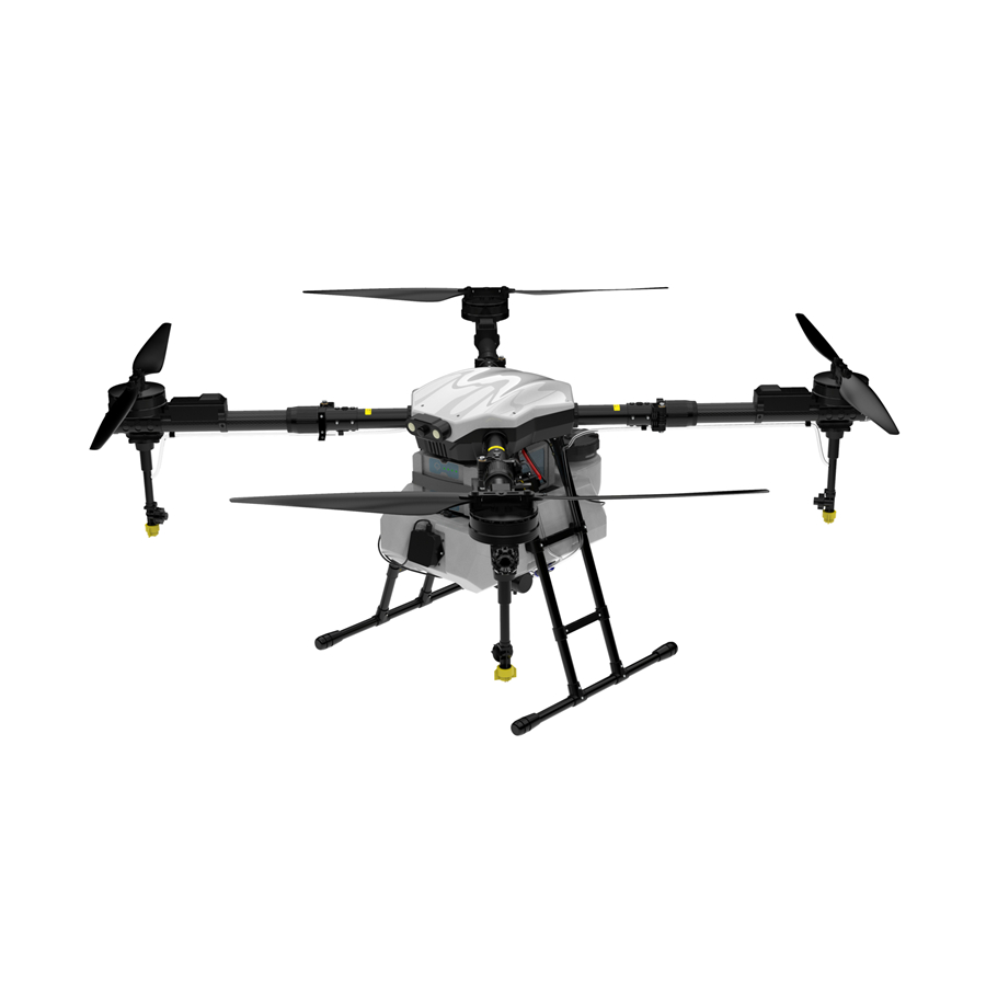
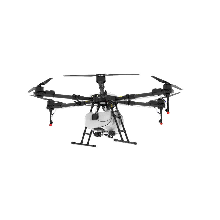
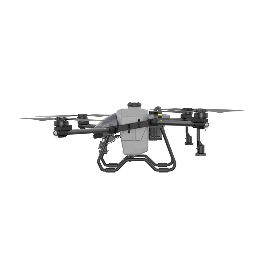
Precision crop protection that saves time, reduces waste, and significantly improves yields. Our drones navigate complex farmland with ease, automatically avoiding obstacles while applying fertilizers and pesticides exactly where needed — keeping farmers safe and supporting sustainable farming practices.

Reliable logistics solutions for last-mile delivery, emergency supply transport, and industrial operations. Whether it's delivering medical supplies to remote villages, transporting construction materials to mountain sites, or supporting disaster relief efforts — our drones carry heavy payloads over challenging terrain with minimal human intervention.
From Hokkaido's potato fields to Okinawa's coral coastlines, RTK mapping drones are embedded in Japan's most critical sectors — delivering measurable ROI and operational precision that traditional methods simply cannot match.
RTK drones enable centimetre-accurate spray paths across narrow Echigo Plain rice paddies, reducing agrochemical use by up to 30% while generating NDVI maps that guide variable-rate fertilisation — a revolution for Japan's premium rice producers.
In terraced apple and grape orchards at altitude, RTK mapping drones produce millimetre-accurate 3D terrain models and canopy health indexes, helping orchard managers in Shinshū and Yamagata optimise irrigation scheduling and yield forecasting.
Hokkaido's vast road network — spanning over 100,000 km — requires continuous inspection. RTK drones equipped with LiDAR payloads survey bridge decks, tunnel portals, and embankments at 1:500 accuracy, reducing survey time from weeks to days.
Japan's offshore wind expansion demands regular turbine blade and foundation inspections. RTK mapping drones operate in marine environments, generating high-resolution models of turbine structures for defect detection and maintenance planning.
Following seismic events such as the 2024 Noto Peninsula earthquake, RTK drones deployed by Japan's SDF and municipal governments rapidly generated accurate topographic maps of landslide zones and collapsed structures to coordinate rescue logistics.
Urban planning authorities in Tokyo Metropolitan Area and Osaka leverage RTK mapping drones to build city-scale BIM-compatible 3D models — enabling digital twin applications for traffic simulation, solar potential analysis, and disaster risk assessment.
The Japanese drone market is undergoing structural transformation driven by regulatory evolution, labour economics, and deep-tech integration.
Japan's revised Aviation Act now permits fully autonomous BVLOS (Beyond Visual Line of Sight) drone operations in Level 4 airspace — unlocking commercial-scale RTK mapping missions in remote mountains, offshore zones, and disaster-affected areas without onsite human operators.
Leading manufacturers are integrating on-board AI inference engines with RTK positioning to enable real-time crop anomaly detection, automated obstacle avoidance, and adaptive flight path optimisation — transforming mapping drones into autonomous field intelligence platforms.
Japan's Ministry of Agriculture, Forestry and Fisheries (MAFF) continues to expand smart agriculture subsidies — covering up to 50% of RTK drone procurement costs for certified farming cooperatives. Prefectural governments in Iwate, Miyagi, and Tochigi have launched additional co-investment programmes targeting drone-based precision agriculture at scale.
While domestic brands such as Yamaha Motor and NTT e-Drone Technology hold significant market share, a growing wave of Chinese RTK drone manufacturers with ISO-certified facilities, JIS-compatible components, and localised after-sales networks are successfully penetrating Japan's B2B market — particularly in the cost-sensitive agricultural cooperative segment.
Japan's drone industry body (JUIDA) reports that certified commercial drone operators have grown from 12,000 in 2020 to over 85,000 in 2024 — a 600% increase that directly signals the rising demand for reliable, high-precision RTK platforms. The market shows particular appetite for drones that combine RTK mapping capability with multi-function payloads — enabling a single aircraft to serve both surveying and spraying duties across the same operational season.
Looking ahead to 2026 and beyond, the convergence of 5G telecommunications infrastructure, Japan's national drone highway (UTM) framework, and mass adoption of digital agriculture platforms will cement RTK mapping drones as essential tools — not optional technologies — for Japan's agricultural, infrastructure, and logistics sectors. Companies investing now in Japan-compliant RTK platforms, localised distribution partnerships, and Japanese-language technical support ecosystems are best positioned to capture this accelerating market opportunity.
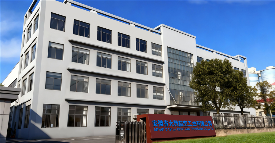
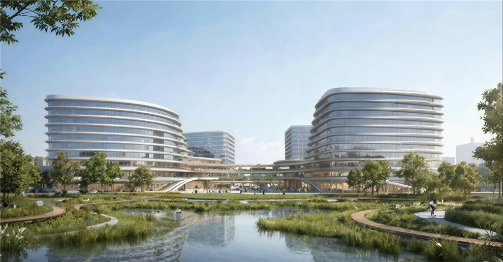
Our R&D and manufacturing center is located in Hefei, China, spanning over 14,800 m² — including an 8,840 m² production workshop and a 2,080 m² office hub. We're proud to be part of the low-altitude economy revolution, working every day to empower smarter, more connected, and more inspiring cities around the world.
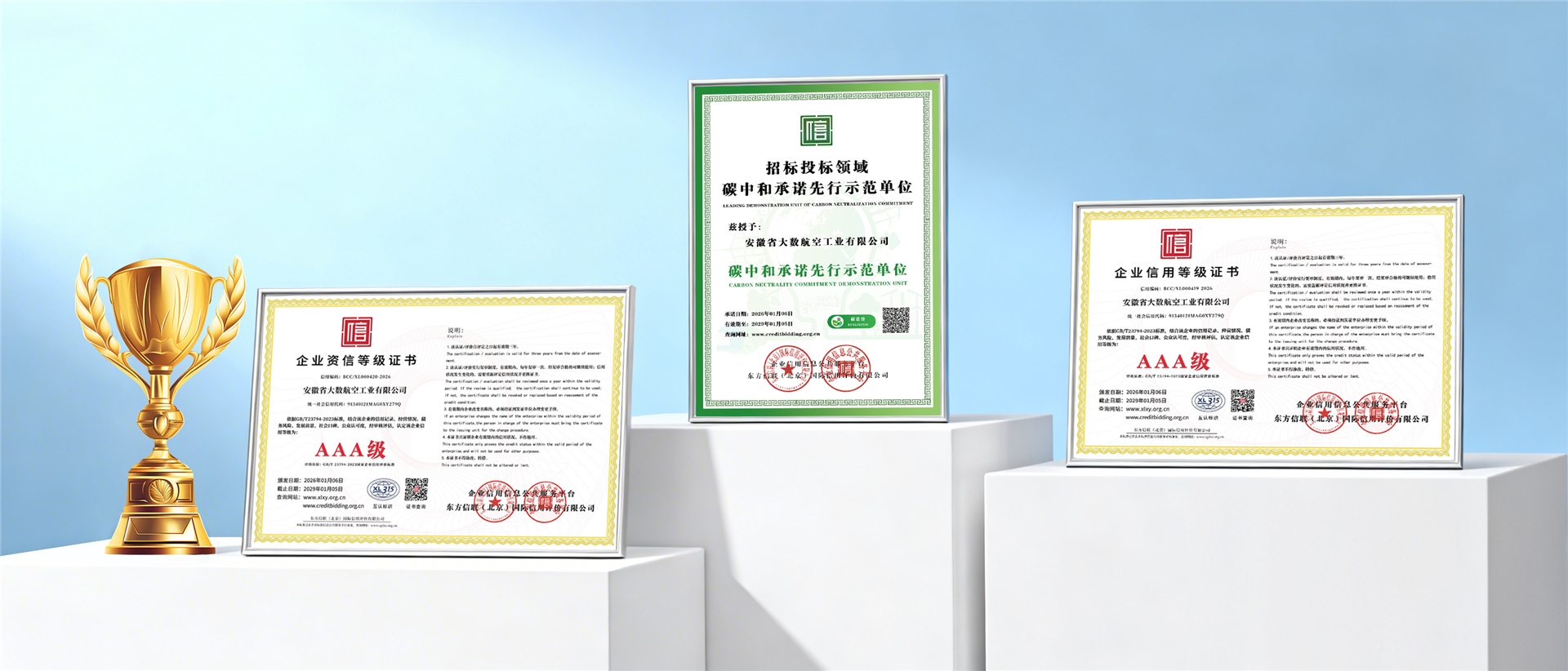
Our RTK mapping drones are backed by internationally recognised quality certifications — meeting the rigorous standards required by Japan's aviation authorities and commercial operators.
Explore our full portfolio of precision UAV solutions — each model purpose-engineered for Japan's diverse agricultural, mapping, and industrial application requirements.